
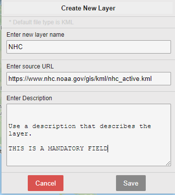
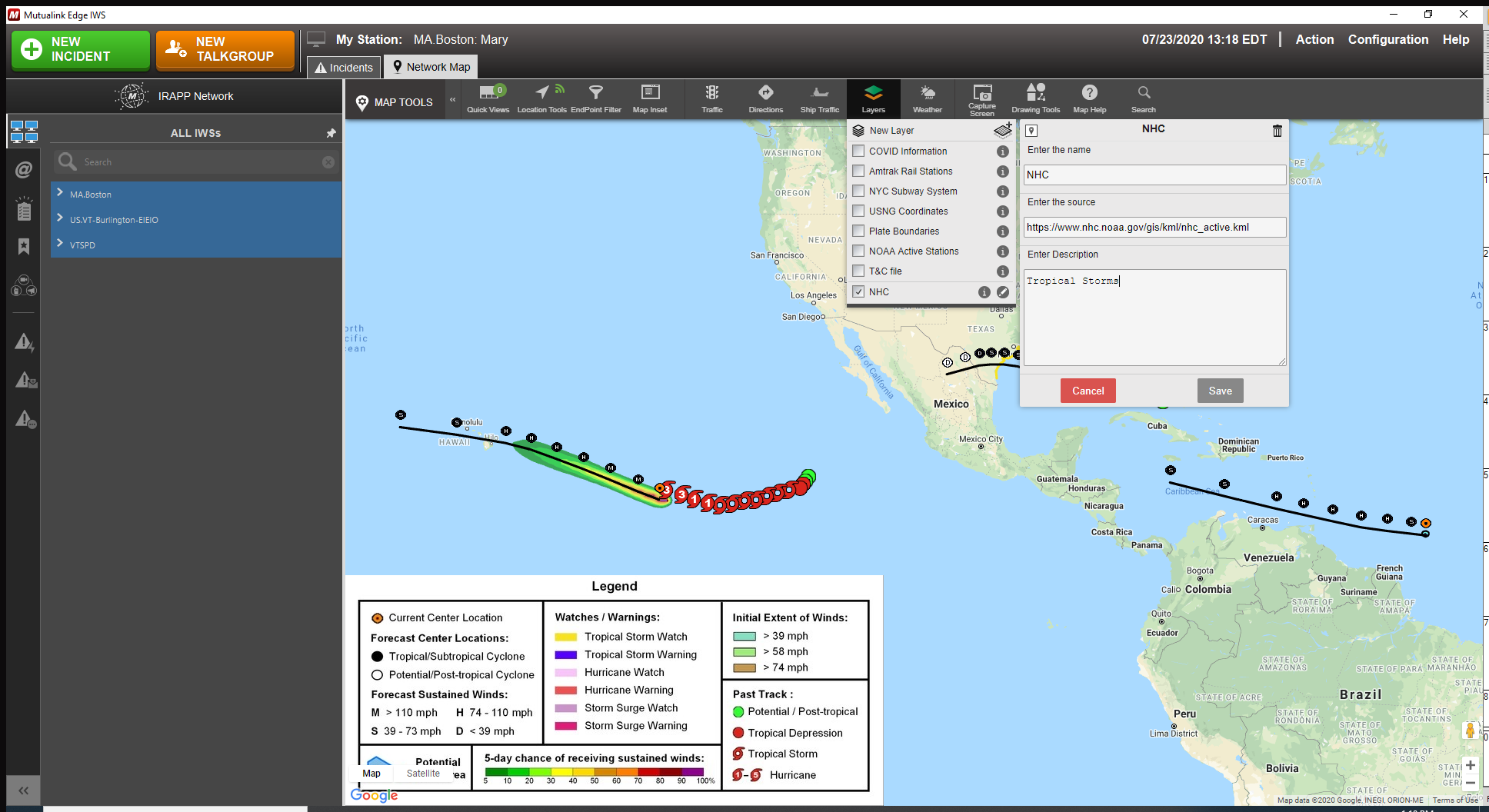
Creating a New Layer
To create a new layer you must upload either a
- Keyhole Markup Language (KML) - Specifies a set of features (place marks, images, polygons, 3D models, textual descriptions, etc.) that can be displayed on maps.
- Keyhole Markup language Zipped (KMZ ) - Compressed version of the KML and can specify a set of features (place marks, images, polygons, 3D models, textual descriptions, etc.) that can be displayed on maps.
- Click New Layer.
- In the Enter new layer name enter a descriptive name for the new layer.
-
If you have a KML or KMZ file that you wish to display in the Network Map you must upload the file(s) to a server of your choosing.
- In the Enter source URL field enter the link to the server. An example: https://www.nhc.noaa.gov/gis/kml/nhc_active.kml
- Enter a description of the layer. This is a mandatory field.
- Click Save. The new layer displays.
Deleting a Layer
You can only delete the layers you have created.
To do so, click the Pencil icon and click the Trashcan in the upper right hand corner.
You will not be prompted to confirm deletion.